
Professional Land
Surveying & Mapping
Traverse Land Services, LLC delivers accurate, reliable boundary surveys, topographic mapping, and construction layouts across Houston County and central Georgia.
Comprehensive Surveying Services
From initial boundary verification to full geospatial mapping, we provide the technical precision your project demands — backed by local expertise in Bonaire and Houston County, GA.
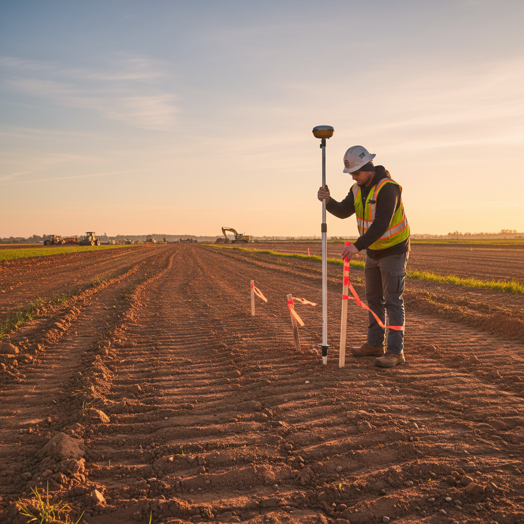
Boundary Surveys
Precise property boundary measurements that establish legal lines, resolve disputes, and support real estate transactions in Houston County.
Learn MoreTopographic Surveys
Detailed elevation and contour mapping for site planning, drainage analysis, and construction design across residential and commercial properties.
Learn MoreConstruction Layouts
On-site staking and layout services that translate engineering plans into accurate ground positions, ensuring your build starts right.
Learn MoreGeospatial Mapping
Advanced GIS and geospatial mapping solutions for commercial clients, land developers, and municipal projects requiring precision data.
Learn MorePrecision you can
build on.
Mike Clarke and the Traverse Land team bring licensed precision and genuine local knowledge to every survey in central Georgia.
Accuracy First
Every measurement is verified against state-licensed standards. Our surveys hold up in court, with title companies, and on the construction site.
Full Transparency
Clear quotes before work begins. No hidden fees. You receive a complete deliverable package — plat, field notes, and digital files.
Local Expertise
Deep knowledge of Houston County parcel records, deed descriptions, and local ordinances means fewer surprises and faster turnarounds.
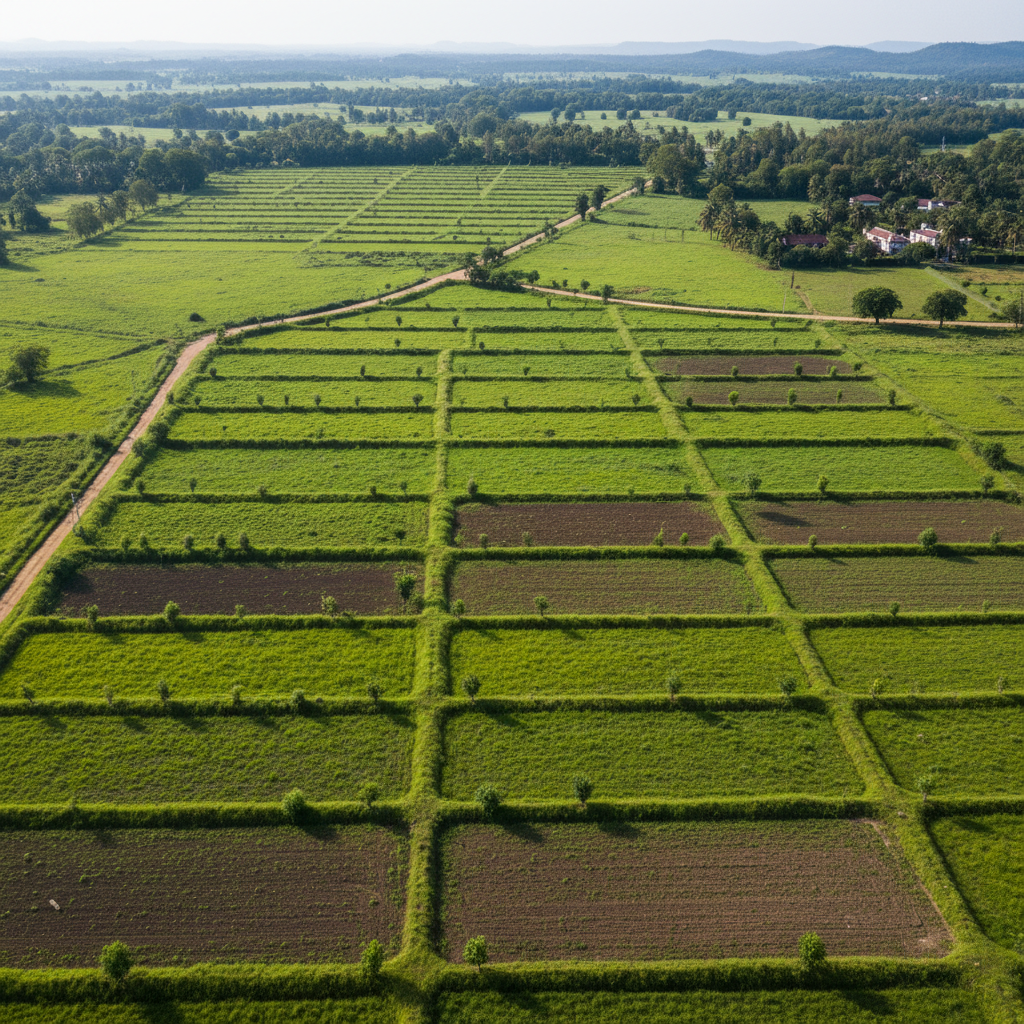
Survey Projects Across Central Georgia

Residential Boundary Survey
Boundary Survey · Houston County

Topographic Mapping
Topo Survey · Commercial
Construction Layout
Layout · New Build
Geospatial Data Collection
GIS Mapping · Land Development
Ready to start your
survey project?
Contact Mike Clarke and the Traverse Land team today for a free consultation and project estimate. Serving Bonaire, Warner Robins, and Houston County, GA.